


ID :
354632
Tue, 01/20/2015 - 08:41
Auther :
Shortlink :
https://oananews.org//node/354632
The shortlink copeid
Masdar Institute launches region’s first public wind atlas to support wind energy projects
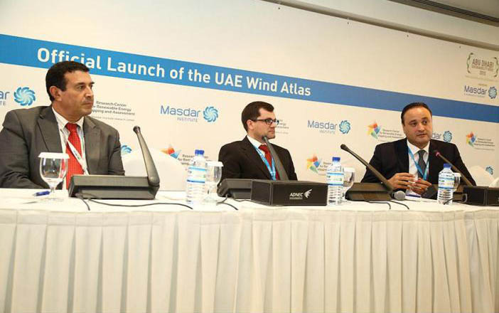
Abu Dhabi, 20th January 2015 (WAM): The Masdar Institute of Science and Technology, an independent, research-driven graduate-level university focused on advanced energy and sustainable technologies, yesterday announced at the World Future Energy Summit 2015 the launch of the UAE Wind Atlas, aimed at accurately characterising the UAE’s wind resources and ultimately supporting investments in wind energy projects.
The UAE has become the first country in the region to develop its own publicly available wind atlas, which has been integrated into the Global Atlas for Renewable Energy platform of the International Renewable Energy Agency (IRENA) as a contribution from the UAE Government.
"This is one more excellent achievement from the Research Centre for Renewable Energy Mapping and Assessment at Masdar Institute. The UAE Wind Atlas demonstrates another key aspect of our contribution to advancing clean energy projects in the UAE. With the support of the UAE’s leadership, Masdar Institute remains in the forefront of research and innovation for clean energy adoption, creating new tools and techniques for the benefit of the wider community. We foresee that the launch and inclusion of the UAE Wind Atlas in IRENA’s Global Wind Atlas highlights our role in the creation of technical knowledge for sustainability," said Fred Moavenzadeh, President, Masdar Institute.
Adnan Z. Amin, Director-General, IRENA, said, "The launch of the UAE Wind Atlas marks another key milestone in our efforts to bring a comprehensive clean energy resource map to the global community. The support provided by Masdar Institute’s Research Centre for Renewable Energy Mapping and Assessment and 3TIER has been critical to help developers of clean energy projects find valuable information to assist in their investment decisions." An interactive portal with a wide range of end-user applications will be hosted on a dedicated server at ReCREMA, located within Masdar Institute, under its Director, Hosni Ghedira. Taha B.M.J. Ouarda, Head of the Institute Centre for Water and Environment (iWater), was closely involved in the creation of the wind atlas.
Ghedira said, "The wind atlas is fairly different from the solar atlas in a number of ways, although some of the maps may seem similar: Wind has to be generated at a number of heights and a whole altitude profile needs to be produced as different turbine technologies work at different heights. Also, solar irradiance is a fairly regional variable because irradiance at a given location is not very different from irradiance at a location 100 meters away.
The scientific work to produce the wind atlas included climate simulations and was carried out in collaboration with 3TIER, a global leader in renewable energy risk analysis, data, assessment, and forecasting for wind, solar, and hydro power projects. 3TIER is based in Seattle, Washington, in the US.
At the request of the UAE Ministry of Foreign Affairs, ReCREMA developed the UAE solar and wind atlases to make them available to the general public through IRENA’s global atlas platform.
An agreement with the Directorate of Energy and Climate Change (DECC) within the Ministry of Foreign Affairs (MoFA), Dubai Supreme Council of Energy (DSCE), and Environment Agency – Abu Dhabi (EAD), through the Abu Dhabi Global Environmental Data Initiative (AGEDI), resulted in funding contributions to the UAE National Atlas for solar and wind resources.
The new wind atlas also adds yet another layer of data to the Masdar Institute-hosted IRENA Global Atlas for Renewable Energy, which includes maps on solar, wind, geothermal and bioenergy resources along with one marine energy map.
Wind is a highly ‘local variable’ as it can be very different at locations that are just 40 meters away because of the impact of terrain, roughness, channelling effect, etc. The work on the wind atlas also included other information such as uncertainty maps which can be very important for securing funding for wind farms.
Aside from the spatial and temporal maps of wind speed, wind direction and wind energy, other products from the ReCREMA include uncertainty maps, seasonality maps, inter-annual variability maps, maps of recurring large-scale air pressure and circulation patterns that extend over large areas, climate change impact maps, altitude profile and distributional maps.
The final maps for the wind atlas are at a spatial resolution of 500m.
During climate simulation (the intensive scientific part of the modelling effort), a number of models were compared to identify the ones that provide best results in desert and arid environments. This is expected to ensure that the final maps take into consideration the unique climatic characteristics of the region. The data sets generated are in excess of 15TB for a 10-year period. The UAE Wind Atlas application and interactive portal are hosted in the state-of-the-art Data Centre facilities at Masdar Institute. – Emirates News Agency, WAM –
http://www.wam.ae/en/news/emirates/1395275315993.html